On the evening of May 23, I decided to go for a relaxing drive in the country.
I do that sometimes . . . just because I enjoy driving. If I’ve had a stressful day or if I’m just craving some time behind the wheel, I’ll spend an hour or two aimlessly cruising the back-roads of Virginia. Although I live in South Riding, part of the suburban eastern half of Loudoun County, Virginia, it’s only a short hop to the west before I’m enjoying the scenic country highways of the Loudoun Valley and the Shenandoah foothills beyond.
On that fateful day, I started out in my venerable 2008 Subaru Outback 2.5i at about 7:45 p.m. I headed south into Prince William County and then west toward the Bull Run Mountains that form the border between the counties of Prince William and Faquier. After traversing some twisty paved and unpaved roads, I crossed back into Loudoun County at Middleburg. I turned west on U.S. 50 and proceeded out across the valley, passing through Upperville and Paris. I climbed the Ashby Gap south of Mount Weather and crossed into Clarke County, then coasted down into the northern Shenandoah Valley and across its namesake river. Then I headed north on Virginia Route 255 through Millwood, met U.S. 340 at Briggs, and proceeded to Berryville, the county seat of Clarke.
When I arrived in Berryville, it was about 9 p.m., so I decided to start heading back home. My plan was to hop on Virginia Route 7 east, then turn right onto the historic Snickersville Turnpike (Virginia Route 734) at its northern terminus in Bluemont. The turnpike would take me diagonally across the Loudoun Valley and back to U.S. 50 in Aldie, and from there it’s just a short drive east to South Riding.
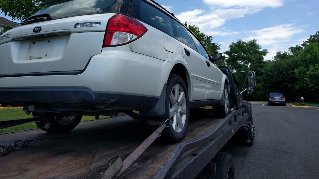
Things did not go as planned. My drive ended on the shoulder of Route 7 at Snickers Gap.
Read more . . .


